THE SCAR
Journey from Catania to Gela
There is an invisible wound at a hundred kilometers under Sicily that never heals. It is where, from millions of years, the African tectonic plate has been pushing against the Eurasian one.
4 February 1169: the earth shakes along this fault decimating the population of Catania.
9 January 1693: another earthquake. It is the strongest ever registered in the history of Eastern Sicily: it was rated 7.7 on the Richter Magnitude Scale and 60.000 people are known to have died.
Another earthquake occurred at the end of 2018: a lot of fear but luckily there was no irreversible damage. In the same period the volcano Etna, which is located where the African tectonic plate is forced down under the Eurasian one, erupted: it was a sort of outlet.
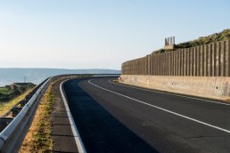
Since the end of the 70s, along the fault line that divides Africa from Europe, the highway SS 417 is found. The road starts from Catania, the city of Saint Agatha, a young virgin martyr who had refused the amorous advances of the Roman prefect Quintianus and for this reason she underwent tortures such as the cutting off of her breasts with her death as a consequence.
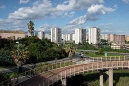
The highway SS 417 starts in the Librino area, a district that was meant to be a utopian model of living comfort, planned at the beginning of the 70s by the Japanese Kenzō Tange, one of the most famous architects of the 20th Century. Though, illegal buildings were built there and today it is known for its decay and for being one of the main sites of the organized crime of the city. In 2018, the Italian President Mattarella visited the district. Some people who live there think about a possible improvement of the area, but this will be very difficult.
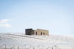
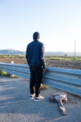
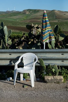
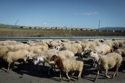
Once the concrete buildings are left behind, the road leads to the Sicilian hinterland, between the Hyblaean Mountains (on the African plate) and the Erean ones (on the European plate). It parallels the fault line among the silence and the beauty of the Mediterranean scrub. After one hour driving it is possible to reach the fences of the CARA, Mineo: 400 colored terraced houses located in the middle of nowhere. They were planned to host US militaries working in Sigonella but they have transformed into a sort of jail for thousands of immigrants who are forced to live in a terrible and overcrowded situation.
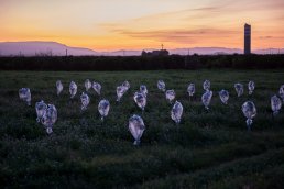
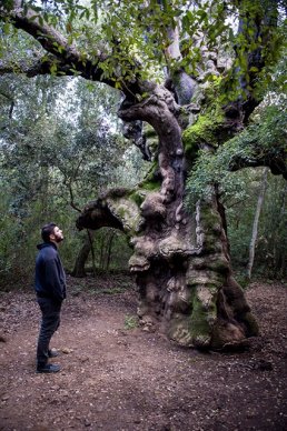
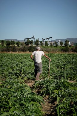
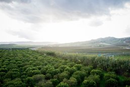
Another hour divides Mineo from Niscemi. It is an area with a lot of sun, silence, olive groves and artichokes fields and where the Cork Oak Wood Nature Reserve is found. Here, the satellite dishes of the M.U.O.S. (the satellite communications system of the American Navy) are located. Groups NoMUOS formed against the M.U.O.S. because worried about the effects of the system on the health of people and the ecosystem. Some people started to create a cancer registry to monitor anomalies, which are probably caused by the system, and apparently in that area there are higher values than the national and Sicilian average.
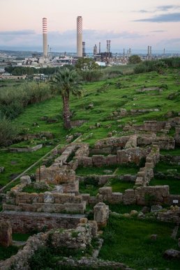
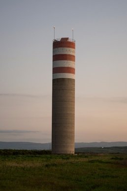
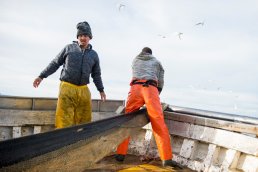
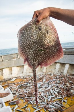
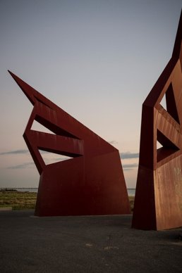
The last part of the highway leads to the sea and also to Gela, one of the most ancient settlements of the island. It was built by the Greeks, remembered by Virgil in the Aeneid for the fertility of its land and it was the city where Aeschylus lived and died. Since the 60s the ENI petrochemical centre has been located in this area, a city within the city, where up to 5 million tons of crude oil were refined every year. Today the centre is closed. ENI has announced its will to transform it into a bio-refinery, an environmentally sustainable attempt never seen before. But at the moment everything seems to be grounded.
The highway SS 417, the street along the fault line, is a place where beauty and ugliness, resistance, arrogance and resignation keep mixing and clashing against each other. This highway is the perfect metaphor for Sicily, and perhaps for Italy as well.
Emanuela Colombo
ClientPersonal researchLink--
